Merritt to Kamloops Road Conditions: Highway 5
RESTRICTIONS
Travel advisories are in effect on the Merritt to Kamloops segment.
Last updated at: NOV 15, 2026, 7:57 P.M. PDT · DriveBC
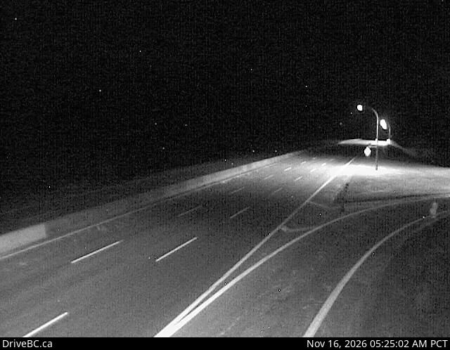
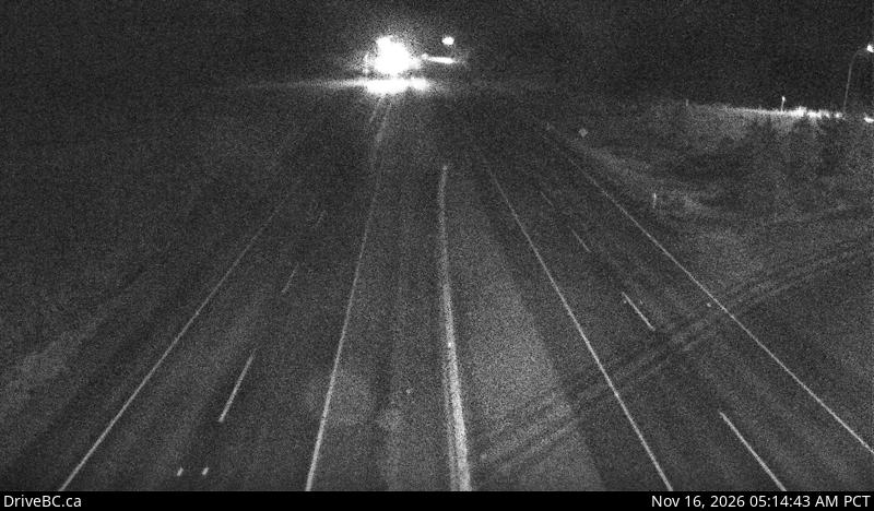
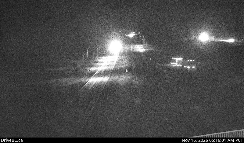
Webcams, Merritt to Kamloops
10 DriveBC cameras in driving order. Still images, refreshed about every 15 minutes.
DriveBC events on this segment
- ConstructionMAJOR severityYellowhead Highway
Construction work from Highway 5, At Mount Paul Way to Halston Ave. Starting 8:00 AM PCT on Monday November 16, 2026 until 4:00 PM PCT on Friday December 4, 2026. From 8:00 AM to 4:00 PM PCT, weekdays. Lane closures in both directions. Expect delays.
Updated NOV 6, 2026, 12:34 P.M. PDT (DriveBC)
Corridor weather
Merritt
605 m
5°C
Overcast
Wind 9 km/h, gusts 25 km/h
High 11°, low 3°
Kamloops
345 m
8°C
Overcast
Wind 8 km/h, gusts 13 km/h
High 14°, low 4°
Right now, Highway 5 from Merritt to Kamloops is open with travel advisories in effect, with 1 major event posted (DriveBC, last updated NOV 15, 2026, 7:57 P.M. PDT).
This segment runs about 87 km from Merritt to Kamloops. It climbs to Surrey Lake Summit at 1,444 m, the highest point on Highway 5 between Hope and Kamloops and higher than Coquihalla Summit, passes the Highway 97D junction for Logan Lake and Lac le Jeune, then drops into Kamloops. Everything on this page is read live from DriveBC, the British Columbia Ministry of Transportation and Transit's traveller information service.
The climb out of Merritt
North of Merritt the highway leaves the Nicola Valley and climbs steadily through open ranch country toward Helmer Lake and the high plateau. The grade is gentler than the Coquihalla climb out of Hope, but the elevation gain is real: Merritt sits at about 605 m and the road more than doubles that before the summit. In winter, blowing snow and black ice on the exposed plateau are the main hazards on this stretch.
Surrey Lake Summit weather
Surrey Lake Summit, at 1,444 m, is the highest point on Highway 5 between Hope and Kamloops, higher than Coquihalla Summit at 1,244 m. Weather at the summit can be several degrees colder than in Merritt or Kamloops, with snow falling at the top while both towns see rain or clear skies. The cameras near Helmer Lake and the Highway 97D junction are the best read on summit conditions before you commit to the climb.
Services on this segment
There are no services on Highway 5 between Merritt and Kamloops. Fuel up in Merritt or Kamloops, and check the verdict at the top of this page before you leave town. The Highway 97D junction leads to Logan Lake and Lac le Jeune, but do not count on it for fuel on a through drive.
Back over the Coquihalla
Hope to Merritt
Highway 5 is open on the Hope to Merritt segment with no advisories in effect.
Heading south? See the Coquihalla page for Hope to Merritt for Coquihalla Summit conditions, or the Hope to Kamloops route page for the full drive.
Get Coquihalla Storm Alerts
Snowfall warnings, highway closures, and major advisories for Highway 5 between Hope and Kamloops, straight to your inbox. By signing up you agree to receive these alert emails from coquihallalive.com. You can unsubscribe at any time.
Frequently asked questions
Is Highway 5 open from Merritt to Kamloops right now?
Right now, Highway 5 from Merritt to Kamloops is open with travel advisories in effect, with 1 major event posted (DriveBC, last updated NOV 15, 2026, 7:57 P.M. PDT). The verdict box at the top of this page is read live from DriveBC events on Highway 5 between Merritt and Kamloops, and it updates every few minutes.
How long is the drive from Merritt to Kamloops?
About 87 km, roughly an hour in clear conditions. The highway climbs from Merritt to Surrey Lake Summit at 1,444 m before dropping into Kamloops, so winter weather at the summit can add time even when both towns are clear.
What is Surrey Lake Summit?
Surrey Lake Summit is the high point on this segment at 1,444 m. It is the highest point on Highway 5 between Hope and Kamloops, higher than Coquihalla Summit at 1,244 m. Conditions at the summit are often much colder and snowier than in Merritt or Kamloops.
Are there services between Merritt and Kamloops?
No. Fuel, food, and services are only in Merritt and Kamloops. The Highway 97D junction serves Logan Lake and Lac le Jeune, but there is no fuel on Highway 5 itself between the two towns.
Do I need winter tires from Merritt to Kamloops?
From October 1 to April 30, yes. British Columbia requires winter tires or chains on Highway 5 in that season. Passenger vehicles need tires marked M+S or with the three peaked mountain snowflake symbol, and commercial vehicles must carry chains.
Road, weather, and camera data: DriveBC, the British Columbia Ministry of Transportation and Transit. Contains information licensed under the Open Government Licence, British Columbia.