Coquihalla Highway 5 Road Conditions: Hope to Merritt
OPEN
Highway 5 is open on the Hope to Merritt segment with no advisories in effect.
Last updated at: NOV 15, 2026, 7:57 P.M. PDT · DriveBC
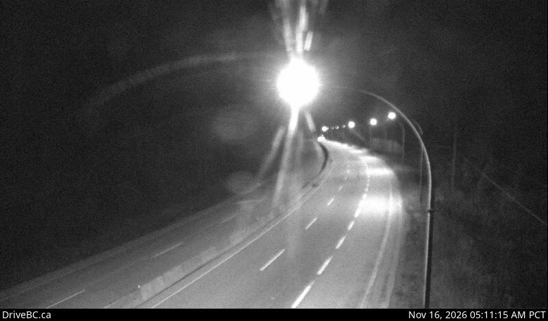
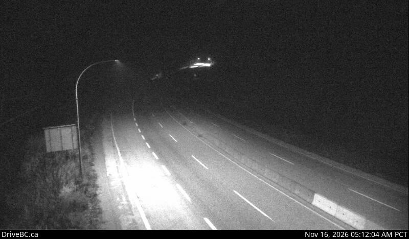
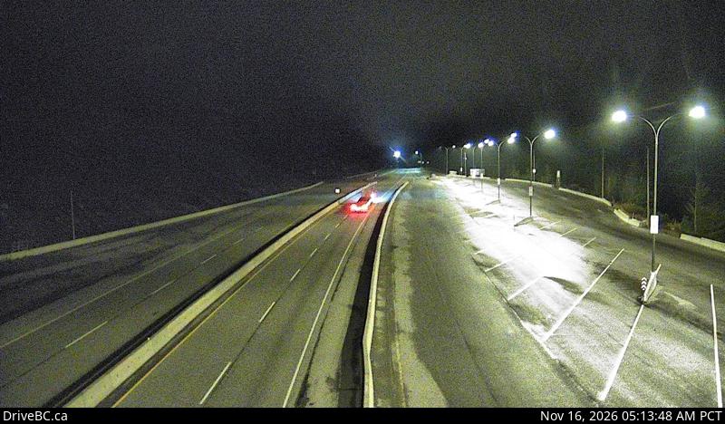
Coquihalla webcams, Hope to Merritt
21 DriveBC cameras in driving order. Still images, refreshed about every 15 minutes.
DriveBC events on this segment
No DriveBC events are posted between Hope and Merritt right now. The road is running clear.
Corridor weather
Hope
41 m
9°C
Overcast
Wind 3 km/h, gusts 12 km/h
High 12°, low 9°
Coquihalla Summit
1,244 m
-2°C
Partly cloudy
Wind 11 km/h, gusts 31 km/h
High 2°, low -2°
Merritt
605 m
5°C
Overcast
Wind 9 km/h, gusts 25 km/h
High 11°, low 3°
Kamloops
345 m
8°C
Overcast
Wind 8 km/h, gusts 13 km/h
High 14°, low 4°
Right now, the Coquihalla from Hope to Merritt is open with no travel advisories in effect (DriveBC, last updated NOV 15, 2026, 7:57 P.M. PDT).
This is the Coquihalla proper: Highway 5 from Hope, up the steep climb past the Great Bear Snowshed and over Coquihalla Summit at 1,244 m, then down to Merritt. It is one of the most weather exposed highways in British Columbia, and the road the television series Highway Thru Hell made famous. Everything on this page is read live from DriveBC, the British Columbia Ministry of Transportation and Transit's traveller information service.
The climb over Coquihalla Summit
Leaving Hope, Highway 5 turns inland and starts climbing almost immediately. The Portia chain up area is the last easy place to stop before the grade. The road passes Box Canyon and the Great Bear Snowshed, a concrete gallery built to keep avalanches off the lanes, then the Zopkios brake checks near the top. Coquihalla Summit, at 1,244 m, is the highest point on this segment. From there the highway drops through Coquihalla Lakes and Britton Creek to Merritt in the Nicola Valley. The speed limit is 120 km/h on most of the Coquihalla, but the summit weather sets the real pace in winter.
Winter on the Coquihalla
From October 1 to April 30, winter tires or chains are required on this highway by BC law. Storms roll in off the Pacific and can drop heavy snow on the summit while Hope is only raining, which is why the verdict at the top of this page is read from live DriveBC events and not from a forecast. Check the winter tire rules before you go, and if the summit cameras show a white road, believe them.
Continuing to Kamloops
Merritt to Kamloops
Travel advisories are in effect on the Merritt to Kamloops segment.
Driving the whole route? See the Hope to Kamloops route page for both segments, both summits, and the full 205 km picture.
Get Coquihalla Storm Alerts
Snowfall warnings, highway closures, and major advisories for Highway 5 between Hope and Kamloops, straight to your inbox. By signing up you agree to receive these alert emails from coquihallalive.com. You can unsubscribe at any time.
Frequently asked questions
Is the Coquihalla open right now?
Right now, the Coquihalla from Hope to Merritt is open with no travel advisories in effect (DriveBC, last updated NOV 15, 2026, 7:57 P.M. PDT). The verdict box at the top of this page is read live from DriveBC events on Highway 5 between Hope and Merritt, and it updates every few minutes.
How long is the drive from Hope to Merritt?
About 118 km, roughly an hour in clear conditions. The highway climbs from near sea level at Hope to Coquihalla Summit at 1,244 m, so winter weather can add a lot of time. There are no services between Hope and Merritt.
Do I need winter tires on the Coquihalla?
From October 1 to April 30, yes. British Columbia requires winter tires or chains on Highway 5 in that season. Passenger vehicles need tires marked M+S or with the three peaked mountain snowflake symbol, and commercial vehicles must carry chains. See the winter tire rules page for the full breakdown.
Where are the webcams on the Coquihalla?
DriveBC runs 21 cameras between Hope and Merritt, including both sides of Coquihalla Summit, the Great Bear Snowshed, and the Zopkios brake checks. They are still cameras that refresh about every 15 minutes, and every one of them is on the cameras page in driving order.
Why does the Coquihalla close so often in winter?
The highway crosses the Cascade Mountains through a narrow, steep corridor that catches heavy Pacific snow. The climb to Coquihalla Summit gains more than 1,100 m, the grades are steep, and conditions at the summit can be far worse than in Hope or Merritt. When avalanche risk, collisions, or whiteout conditions make the road unsafe, DriveBC closes it until crews can clear it.
Road, weather, and camera data: DriveBC, the British Columbia Ministry of Transportation and Transit. Contains information licensed under the Open Government Licence, British Columbia.